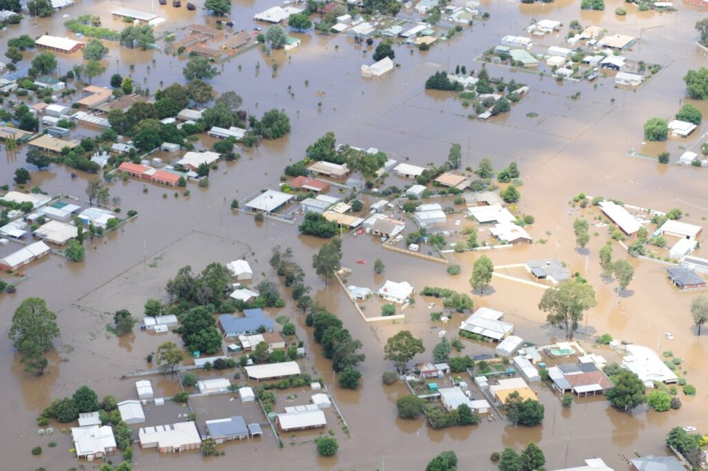
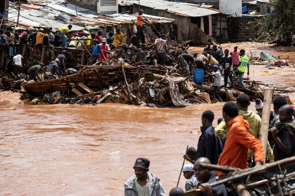
Overview: Developed the Lake Victoria Integrated Water Balance Model (LaVIWaB) to simulate hydrological responses and flood risks under climate extremes.
Partnerships: WEC Nature – VUB – ICPAC.
Impact: Enhanced flood early warning for >40 million riparian residents; informed policy and adaptation planning.
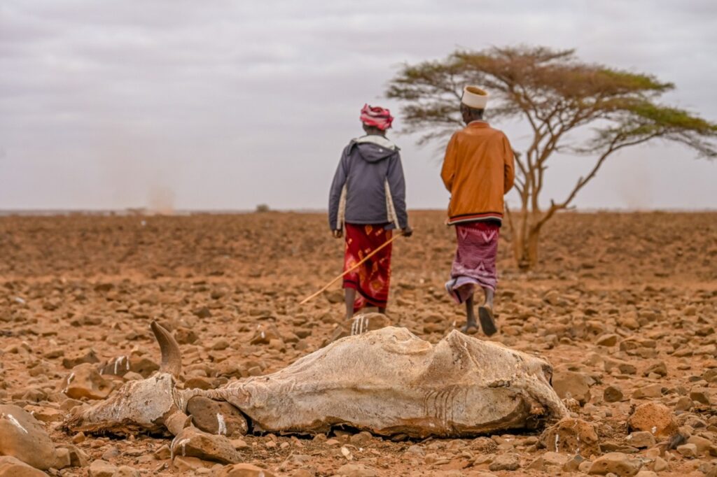
2. Seasonal Drought Monitoring and Mapping in Kenya (2000–2024) – 2025
Client: NDMA Kenya
Overview: Combined satellite data (MODIS NDVI, CHIRPS, LISFLOOD) with Combined Drought Indicators to map drought dynamics and persistence.
Role: PI; data analysis and spatial mapping.
Impact: Supported early warning systems and climate resilience planning across drought-prone regions in Kenya.
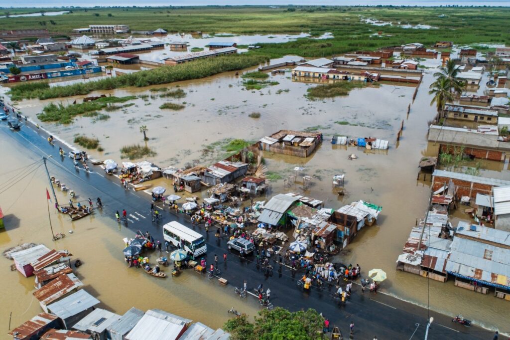
3. Lake Tanganyika Basin Flood Risk Assessment – 2023.
Client: Lake Tanganyika Authority / Regional Governments.
Overview: Applied hydrological modeling and satellite imagery to quantify flood risks and forecast extreme events in the Lake Tanganyika Basin.