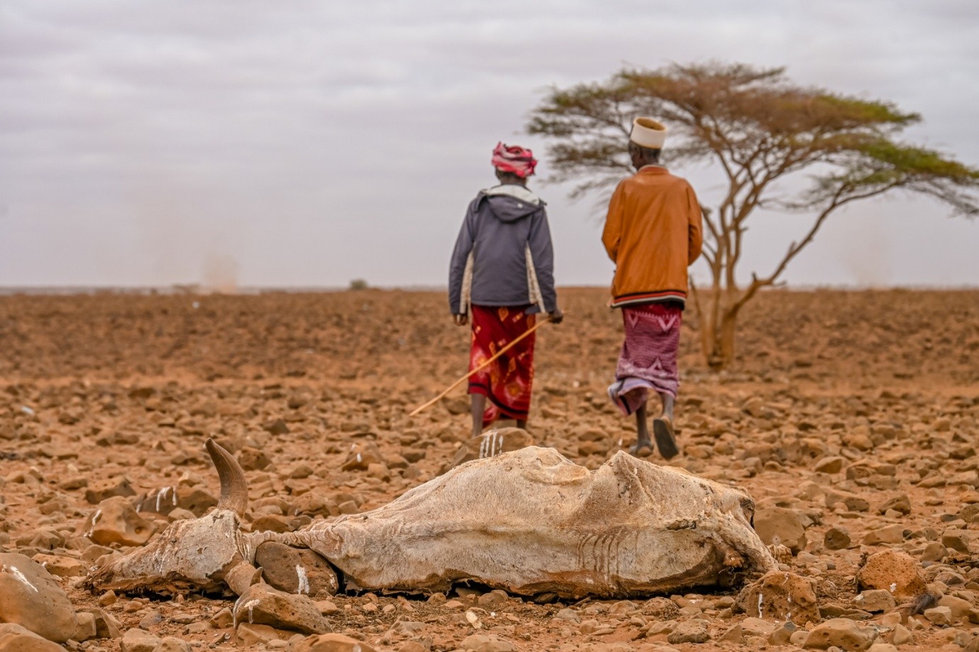
Project Information Client Name: NDMA Kenya Overview Combined satellite data (MODIS NDVI, CHIRPS, LISFLOOD) with Combined Drought Indicators to map drought dynamics and persistence Role PI; data analysis and spatial mapping Timeline: 2000-2025 Impact Supported early warning systems and climate resilience planning across drought-prone regions in Kenya.